Collectors Crossroads
First Map with California as an Island - "Audience de Guadalajara" by N. Sanson
First Map with California as an Island - "Audience de Guadalajara" by N. Sanson
Couldn't load pickup availability
Share
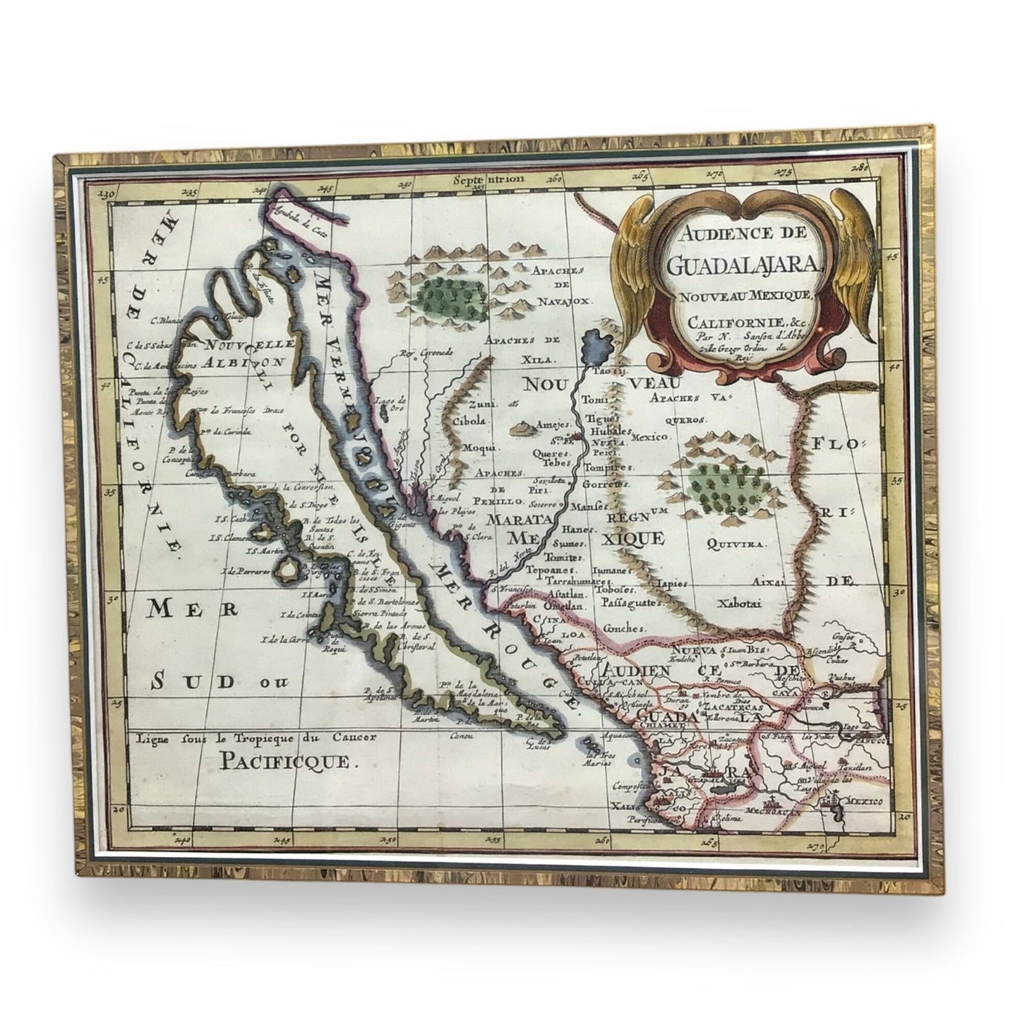
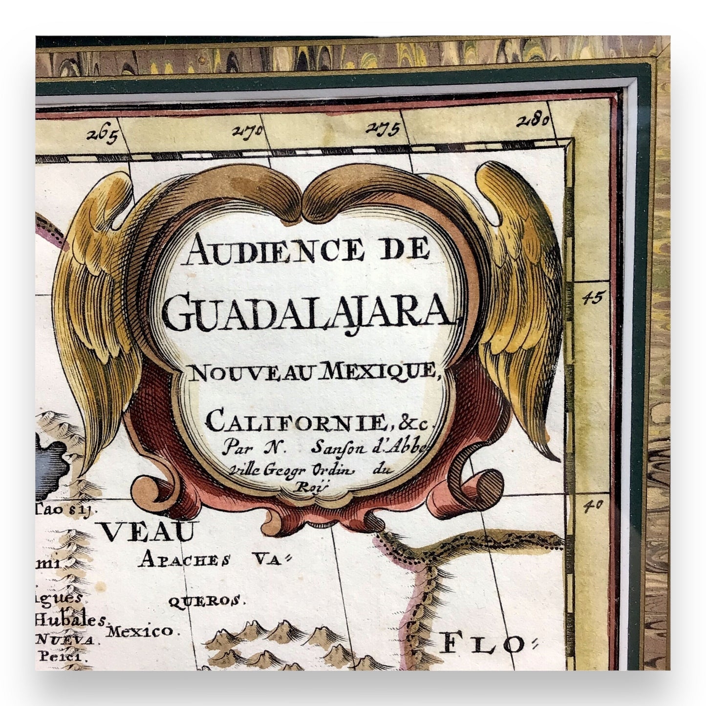
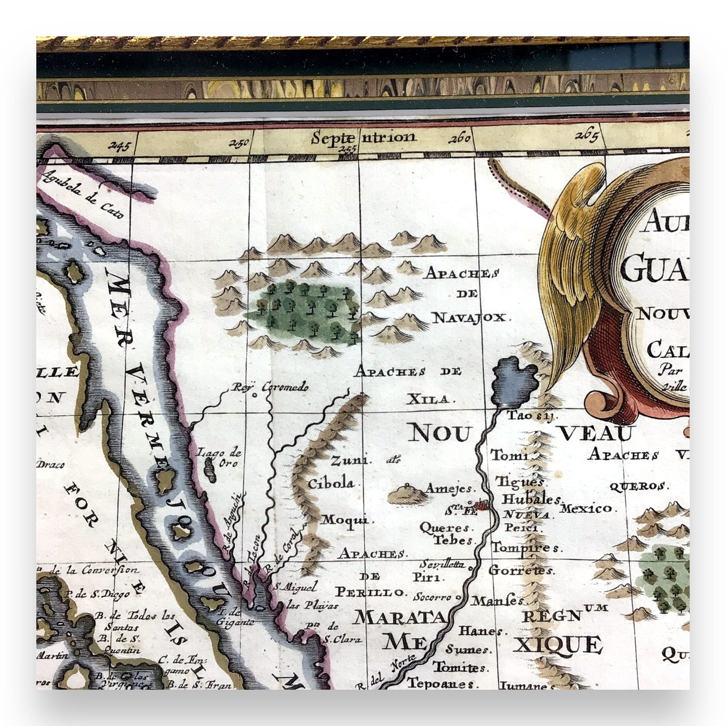
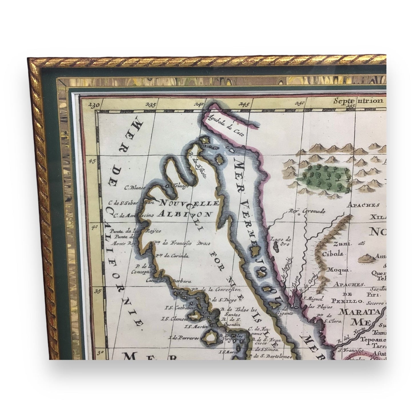
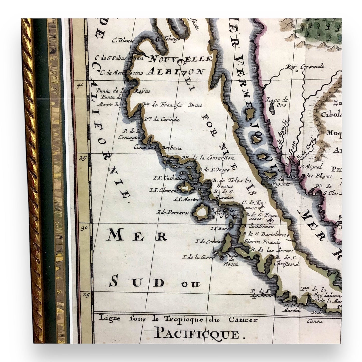
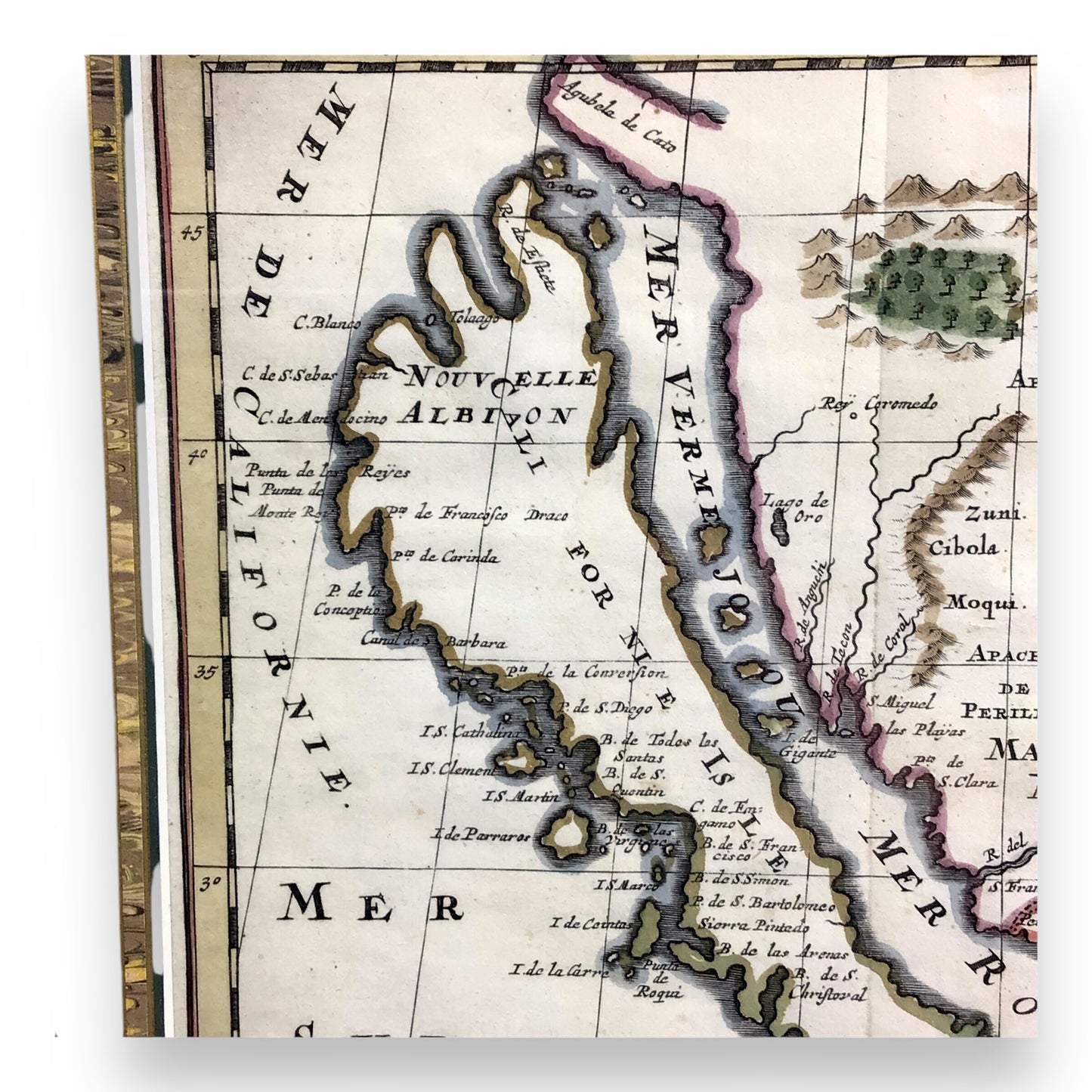
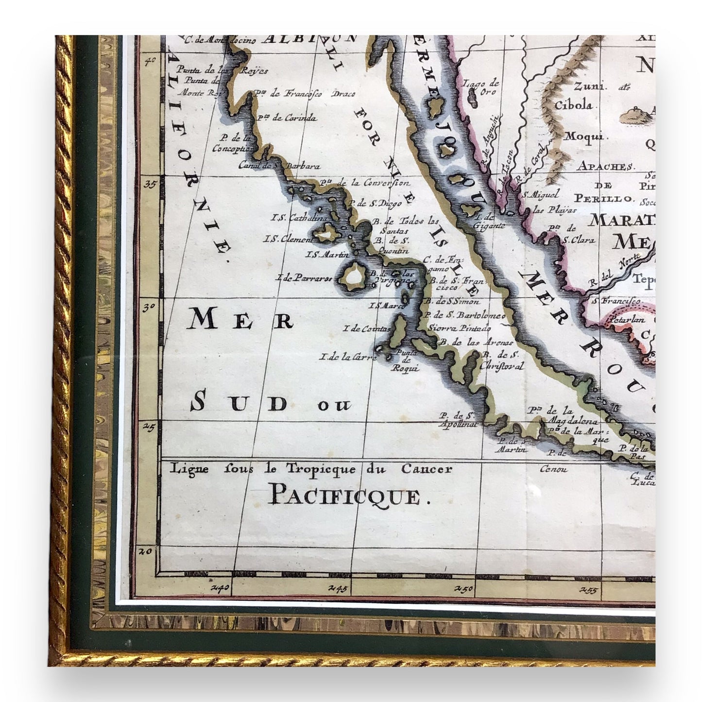
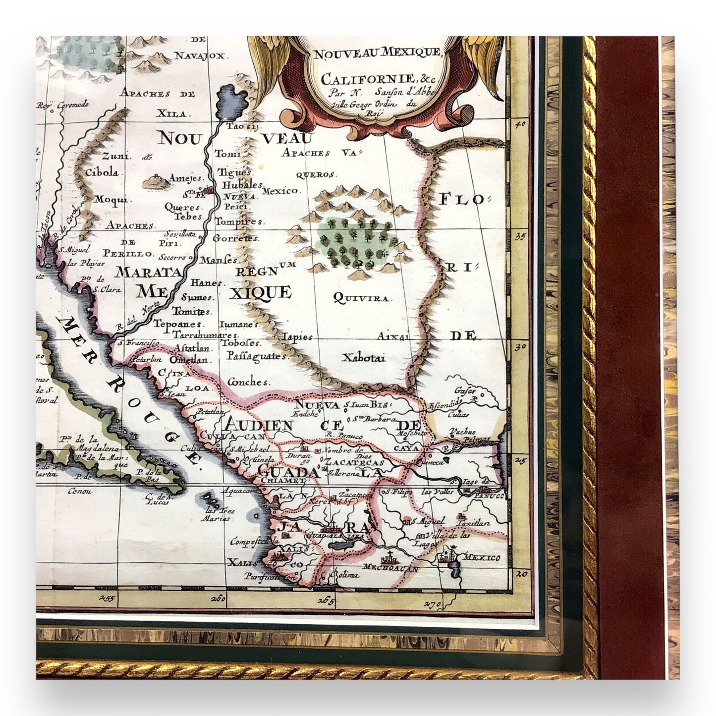
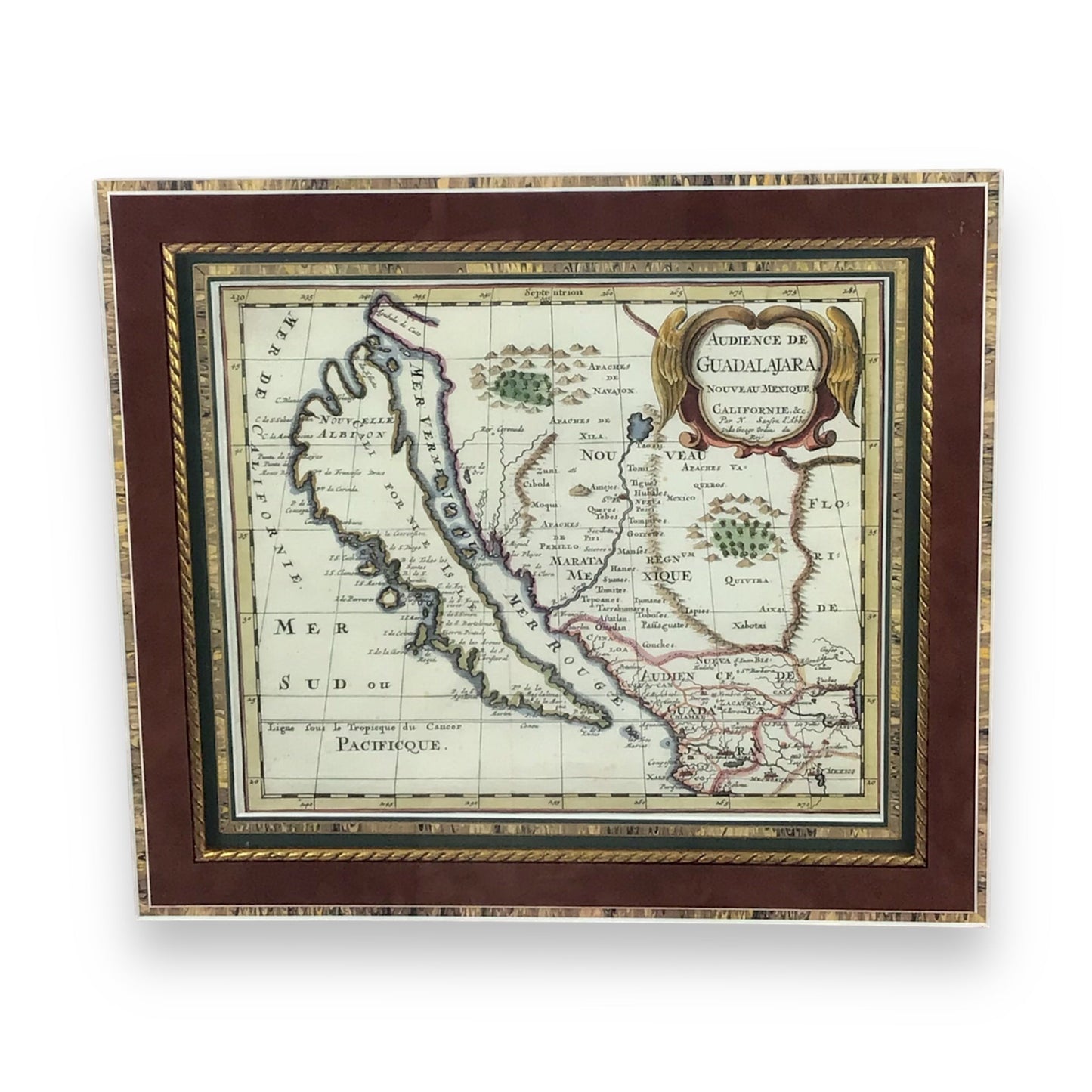
This exquisite hand-colored map, titled "Audience de Guadalajara Nouveau Mexique, Californie, &c.", was created by Nicolas Sanson (French, 1600-1667) in 1662. This is the first regional map of America to illustrate California in this insular form, departing from prior depictions on global or hemispheric maps.
As a significant 17th-century cartographic masterpiece, it depicts Western Mexico and the American Southwest. Notably showing California as an island—a groundbreaking feature in cartography at the time.
This seminal piece profoundly influenced California cartography for the next 50 years, making it a cornerstone for collectors of early maps.
This map is the first to feature Sanson’s Second Model of insular California, showcasing two northern bays, and introduces new Indian tribes along the Rio Grande. Prior to this map, all maps with California shown as an Island were either World maps, Western Hemisphere, North America, Pacific Ocean or some substantially larger geographical region. The region illustrated was still largely unknown. Its nomenclature blends the styles of Blaeu and Sanson, while a mysterious peninsula above California adds even more to uncover in this piece.
Referenced in significant cartographic literature, including Burden’s 'The Mapping of North America ', Leighley’s 'California as an Island ', McLaughlin’s 'California Cartography ', and Tooley's 'Tooley's Dictionary of Mapmakers '.
Key Features:
- Groundbreaking piece of history by being the first regional depiction of California as an island, a majorly influential cartographic feature that captivated explorers and mapmakers for years to come
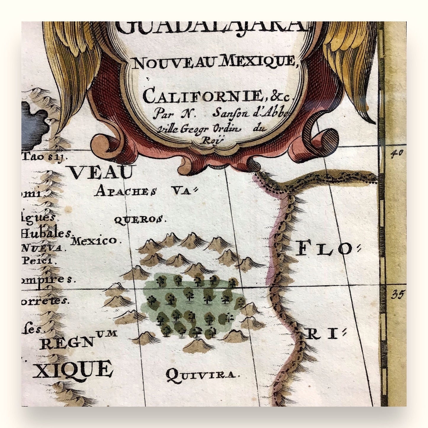
- Vivid hand-colored details, showcasing the fine craftsmanship of the 17th century cartography. The intricate color work remains vibrant, adding a rich visual appeal to its already historical significance
- A key piece from Sanson’s influential "L’Amerique en Plusieurs Cartes Nouvelles" (Third State), this map profoundly shaped the representation of the Americas for over 50 years
- The map also features a mysterious peninsula north of California, inviting further exploration into the uncharted territories of the time
Item Dimensions:
- Hand-Colored Map: 10" L x 8" W
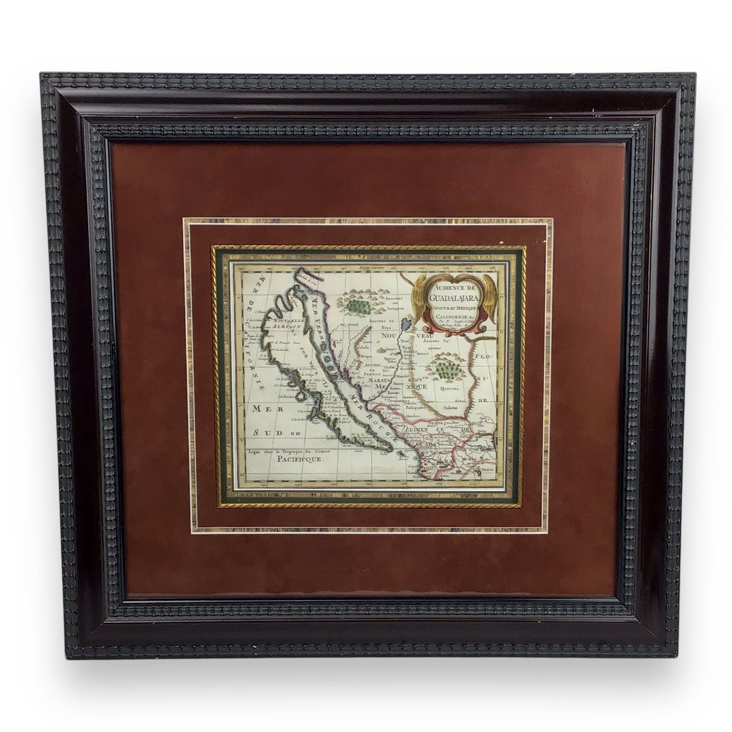
- Framed Map: 21.5" L x 20" W
Condition: Excellent condition with vivid & vibrant colors complimented by exquisite shadowbox-like matting and framing.
Item Location: Collectors Crossroads - CC#QM0012
