Collectors Crossroads
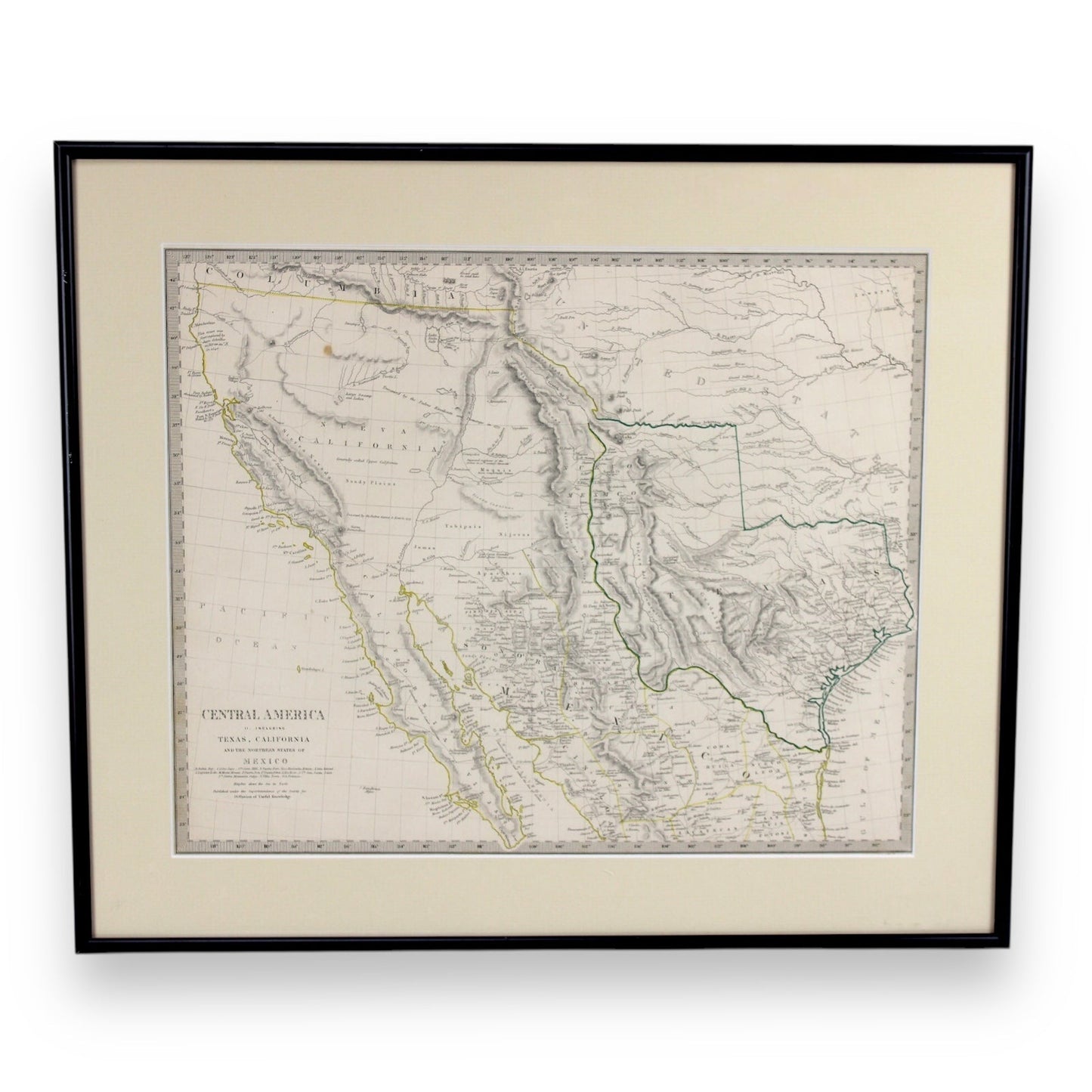
Antique Map "Central America II" Including Texas, California, Mexico, c. 1844
Antique Map "Central America II" Including Texas, California, Mexico, c. 1844
Couldn't load pickup availability
Share
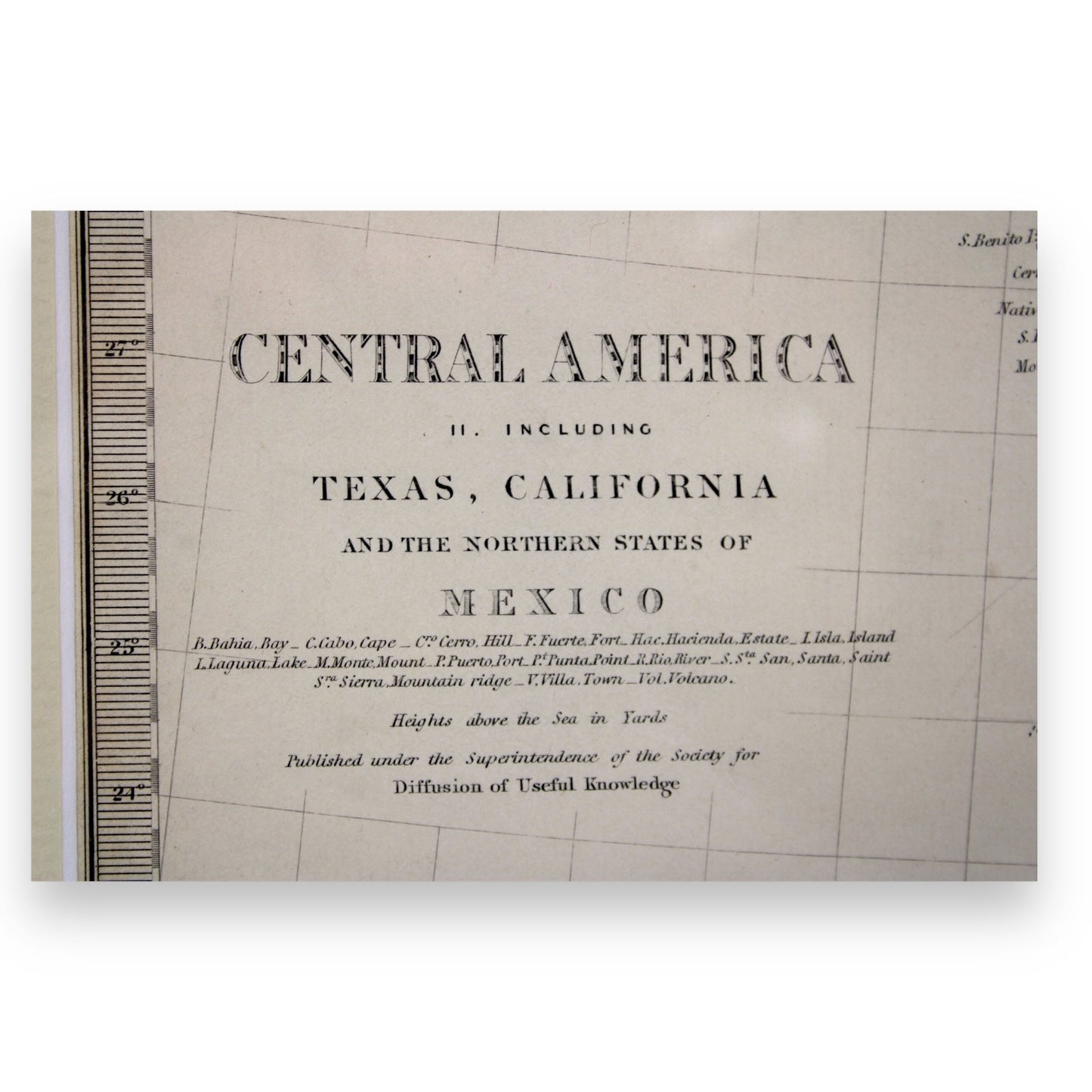
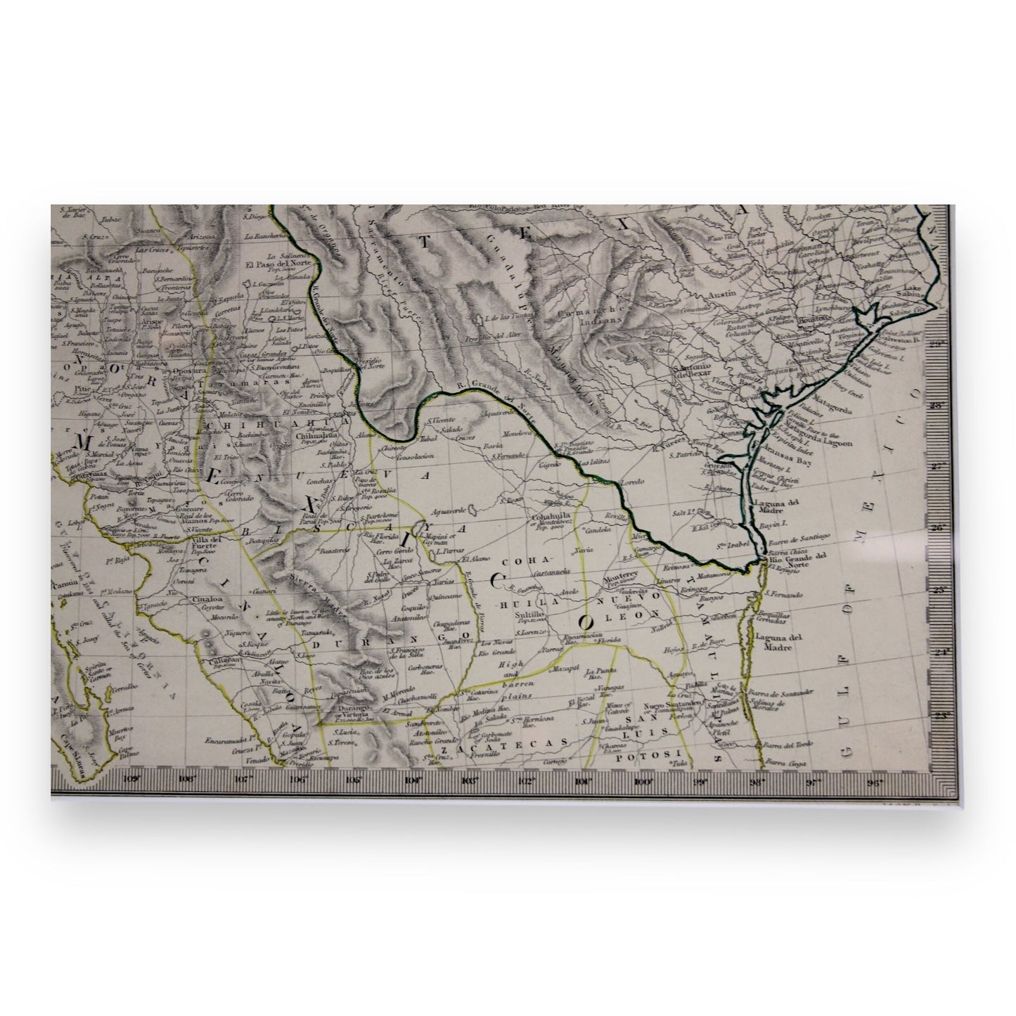
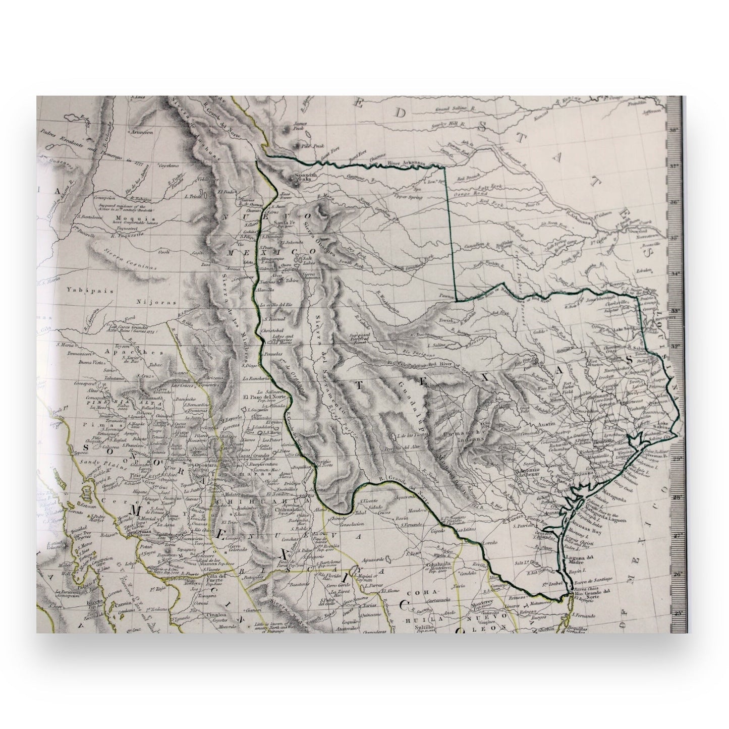
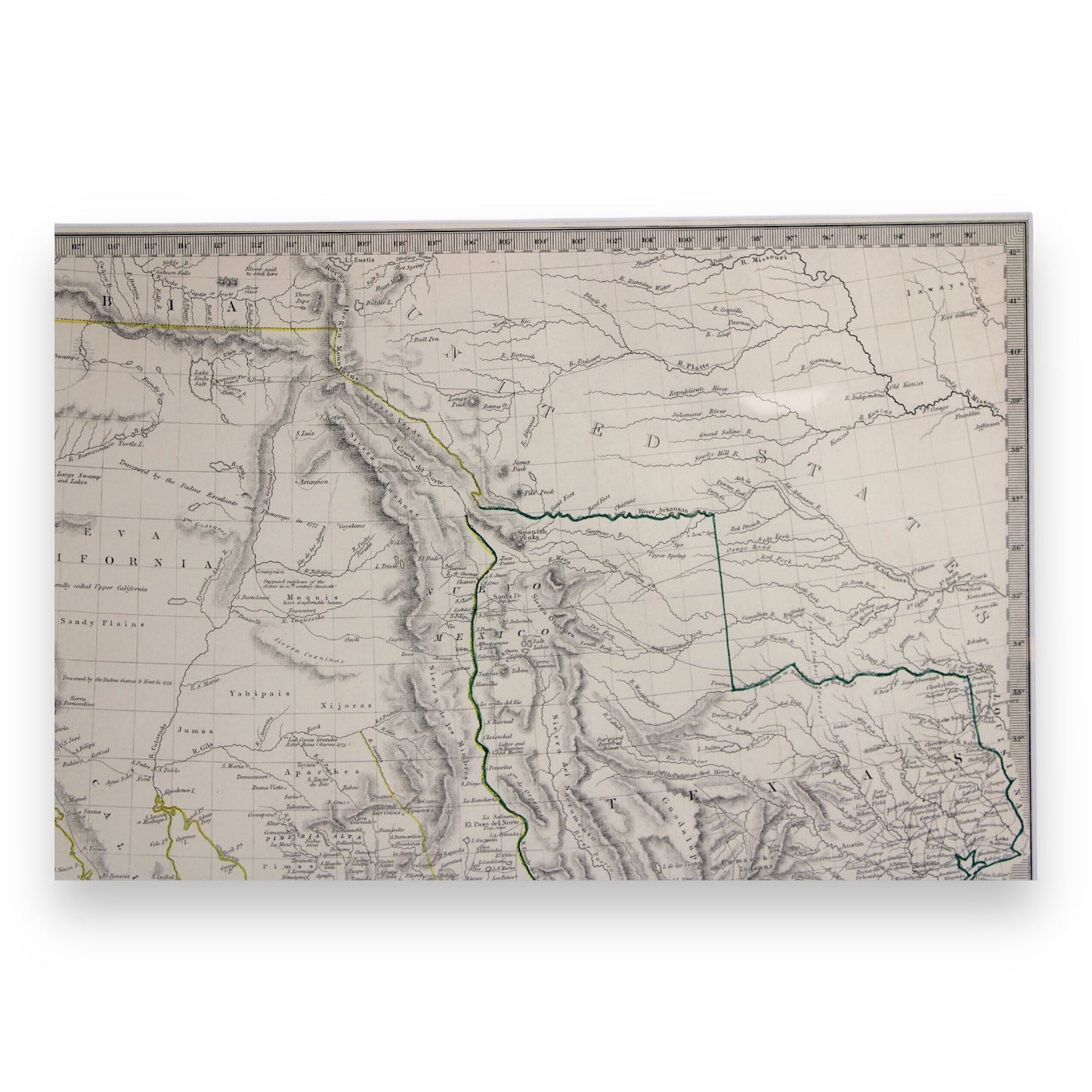
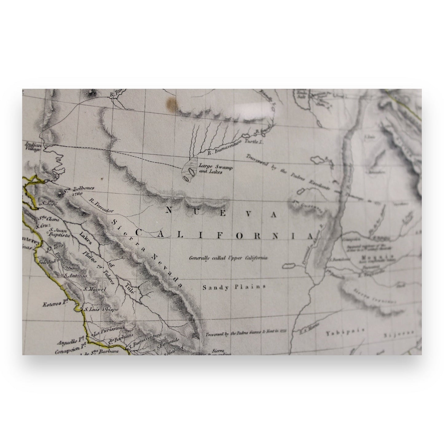
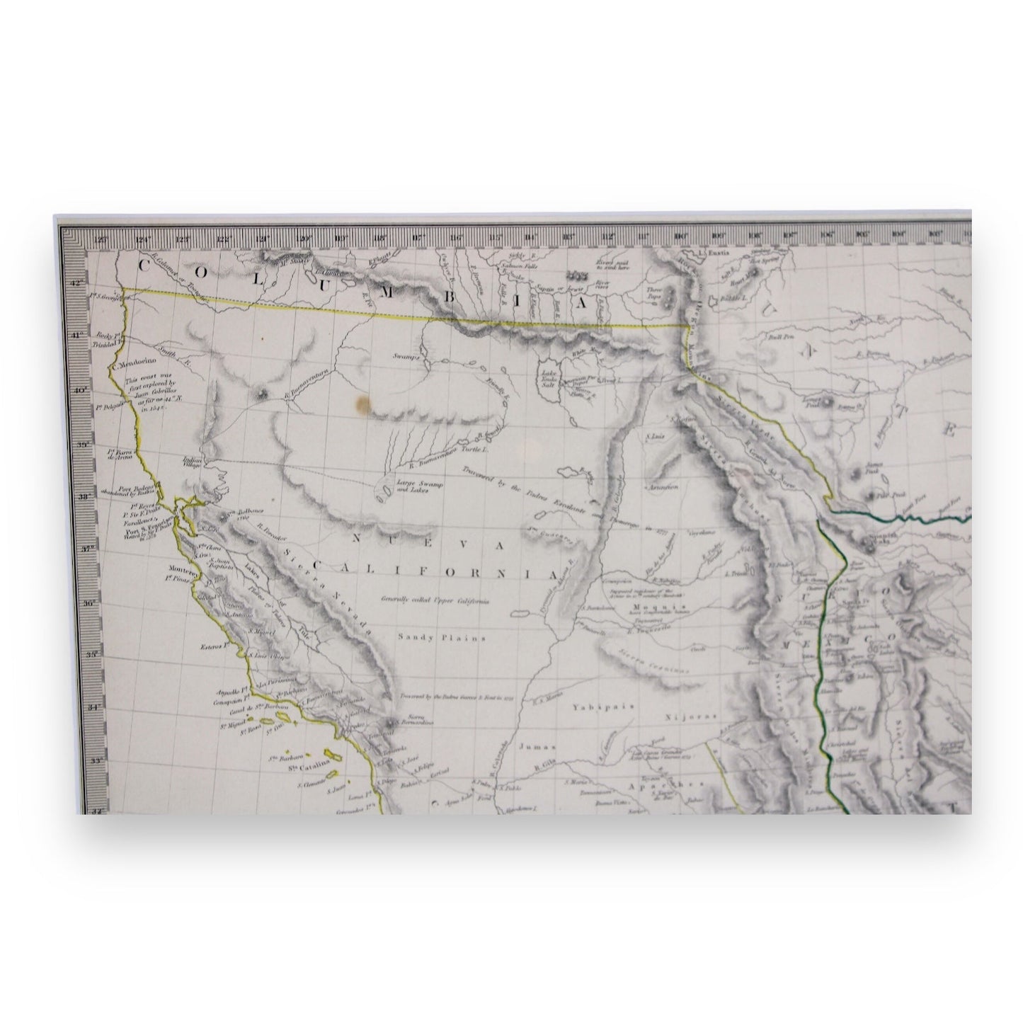
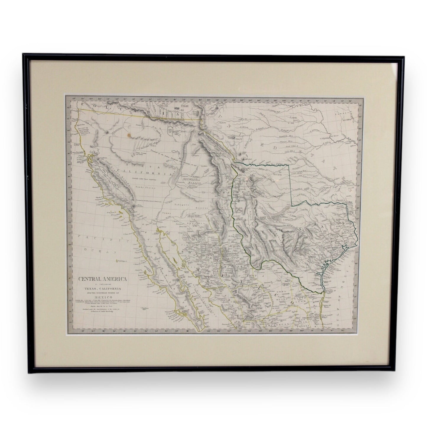
This Framed Antique Map, titled "Central America II. Including Texas, California and the Northern States of Mexico", was created in c. 1844 by Charles Knight and published by the Society of the Diffusion of Useful Knowledge, London. This map offers a fascinating glimpse into the political landscape of North America just before the Republic of Texas joined the United States in 1845.
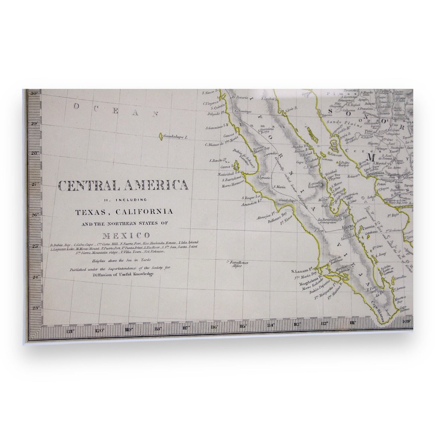
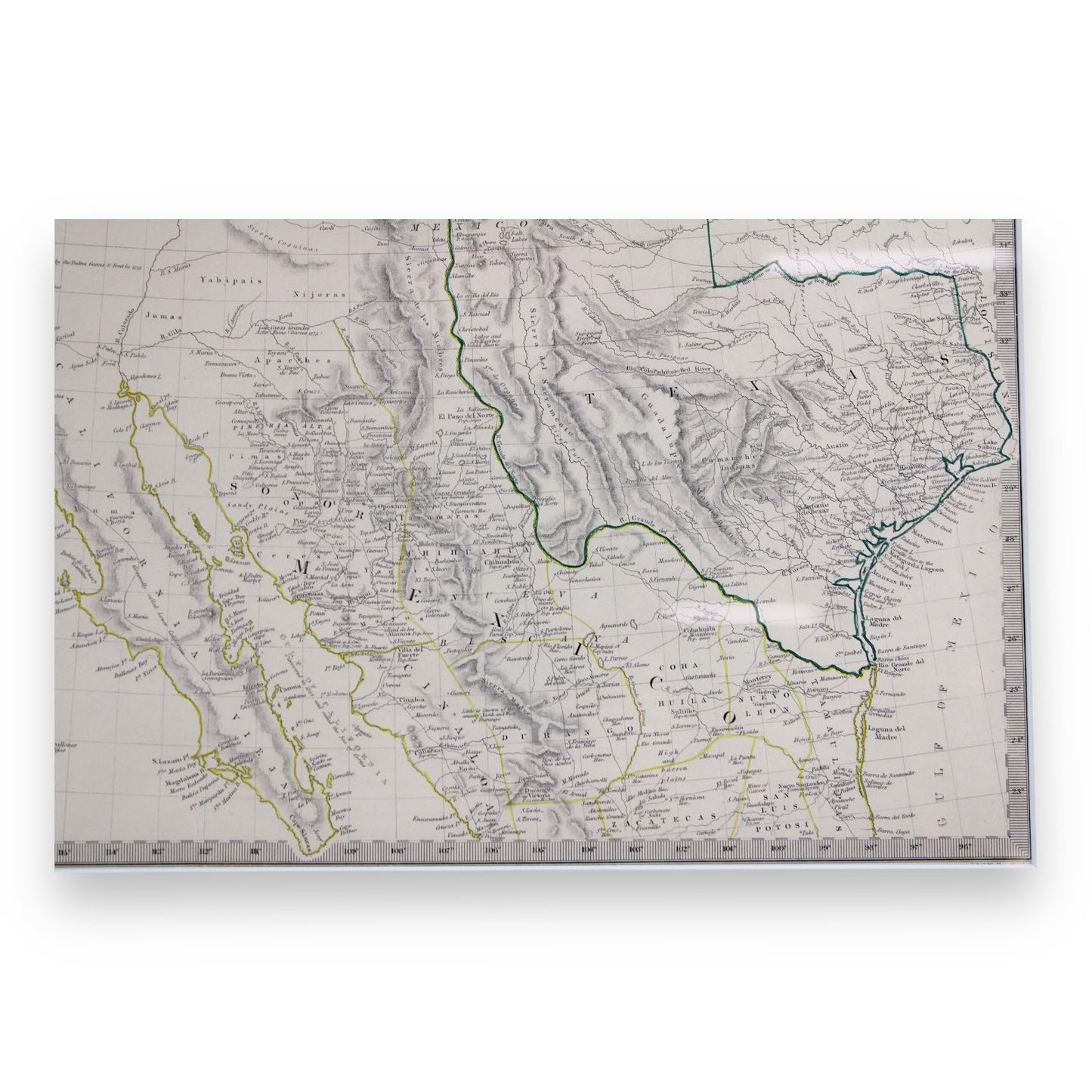
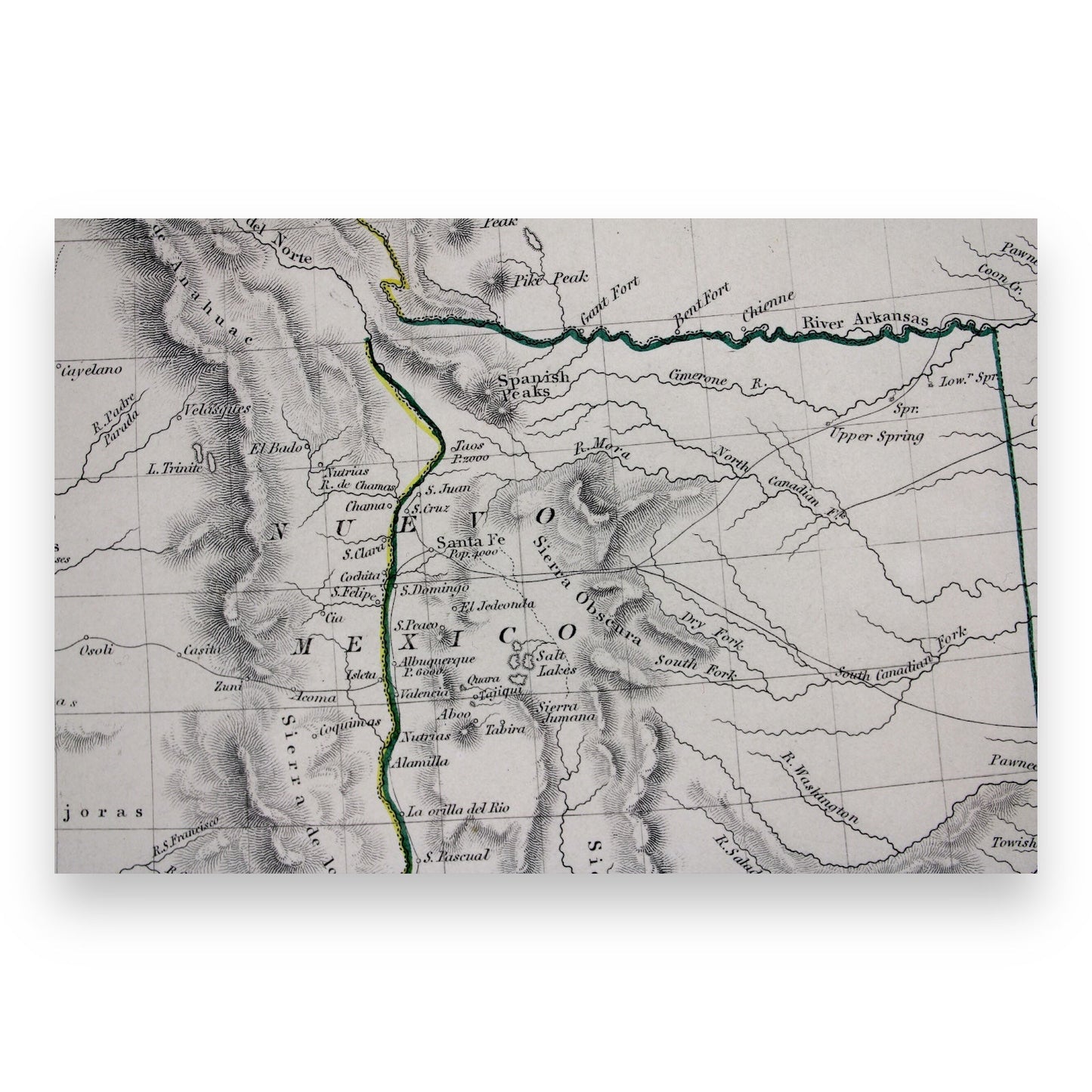
The map highlights Mexico extending to Columbia and Upper California, with Texas outlined from the Rio Grande in the Gulf, north to the River Arkansas and including key locations such as Santa Fe and El Paso, extending east to Louisiana. The title "Central America" refers to the central region of North America, not to the modern-day Central America.
This rare political map showcases the region during the tense period of Texas' independence, marking the era when the Republic of Texas claimed sovereignty, despite Mexico's objections. It is an important historical piece, providing a visual representation of a critical time in the development of the Southwestern United States.
Key Features:
- Rare Texas Independence map, showing the independent Republic of Texas.
- Detailed cartography by Charles Knight, published by the Society for the Diffusion of Useful Knowledge.
- Highlights Mexico’s territorial claims, Upper California, and the early boundaries of Texas.
- Political map depicting the disputed territories just before Texas became part of the United States.
- Excellent museum-quality condition, preserved in a framed presentation.
Condition: Excellent museum-quality. The map has been well-preserved, with vibrant hand-colored outlines and crisp black ink details. Minimal signs of age, preserving the rich historical significance.
Item Dimensions:
- Map Size: 15.5" W x 12.75" H
- Framed Map: 19.75" W x 17" H
Location: Collectors Crossroads - CC#QM0094
