Collectors Crossroads
Mythical 'Sea of the West' Map "L'Amerique Septentrionale divisee" by J. Janvier
Mythical 'Sea of the West' Map "L'Amerique Septentrionale divisee" by J. Janvier
Couldn't load pickup availability
Share
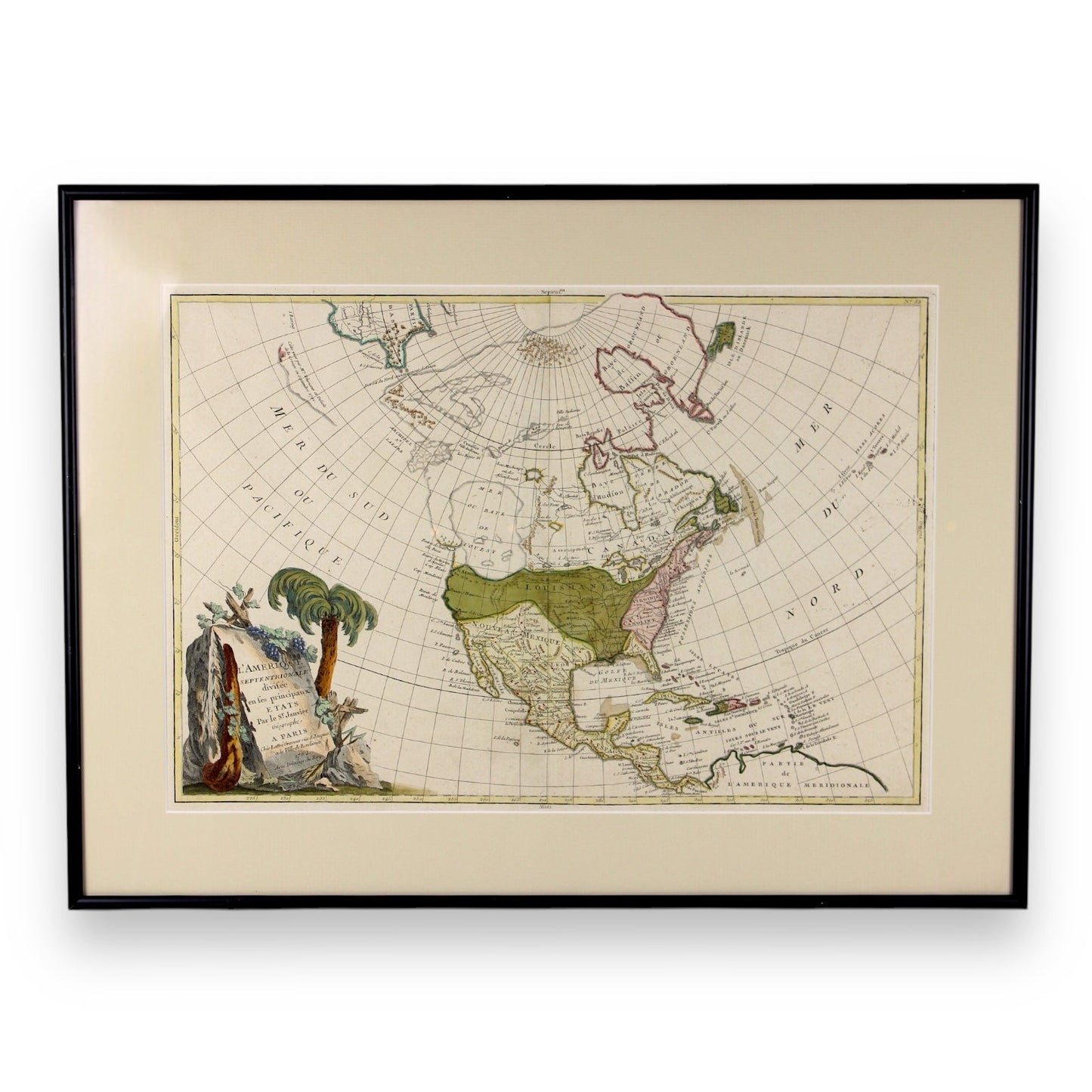
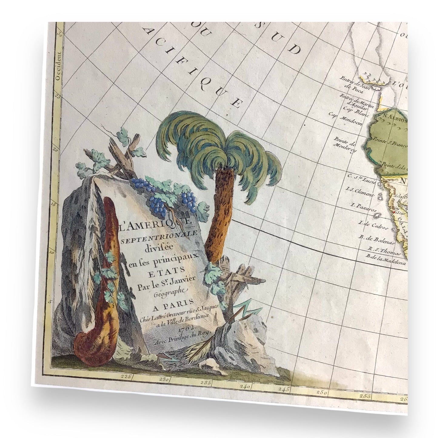
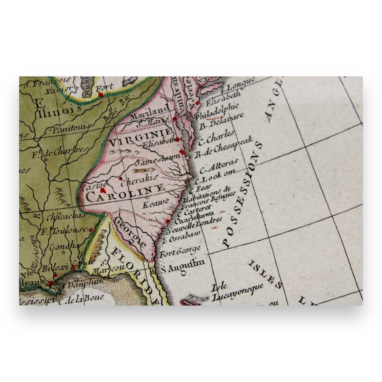
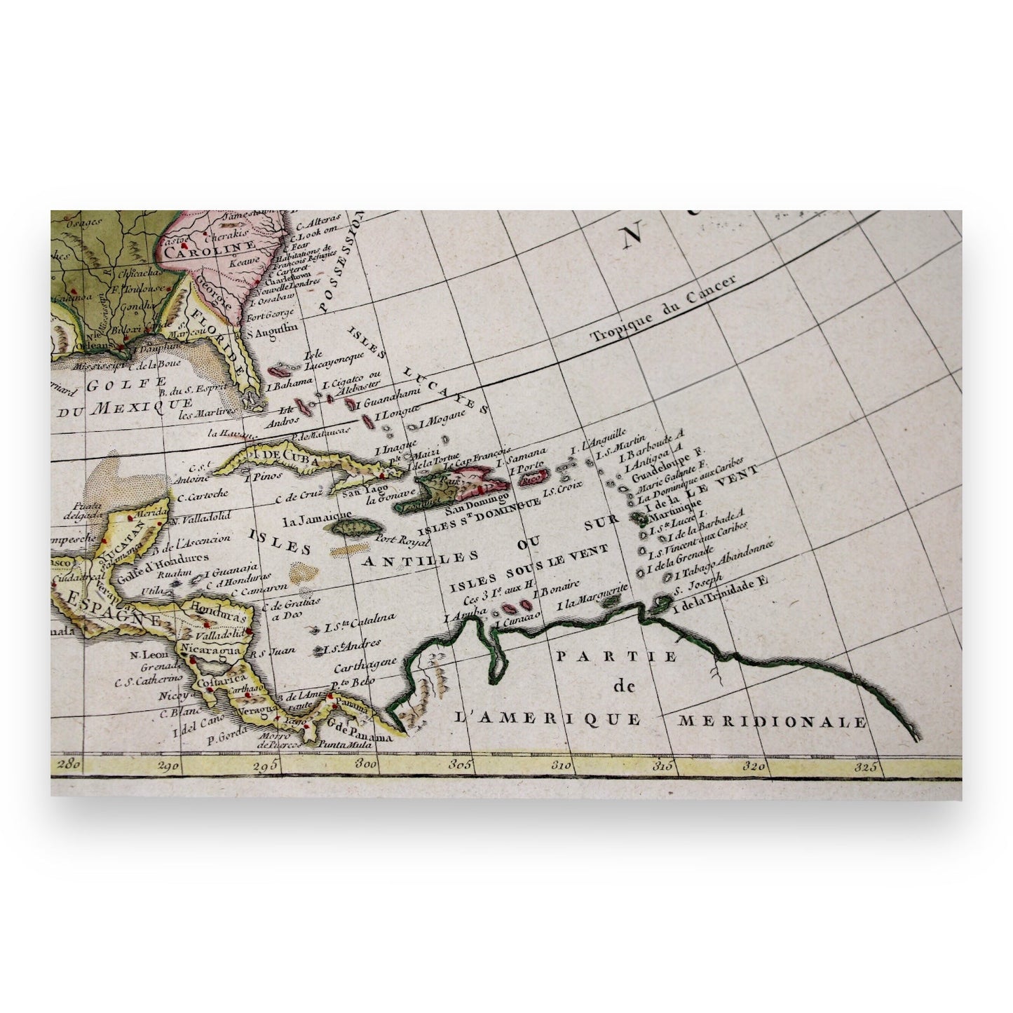
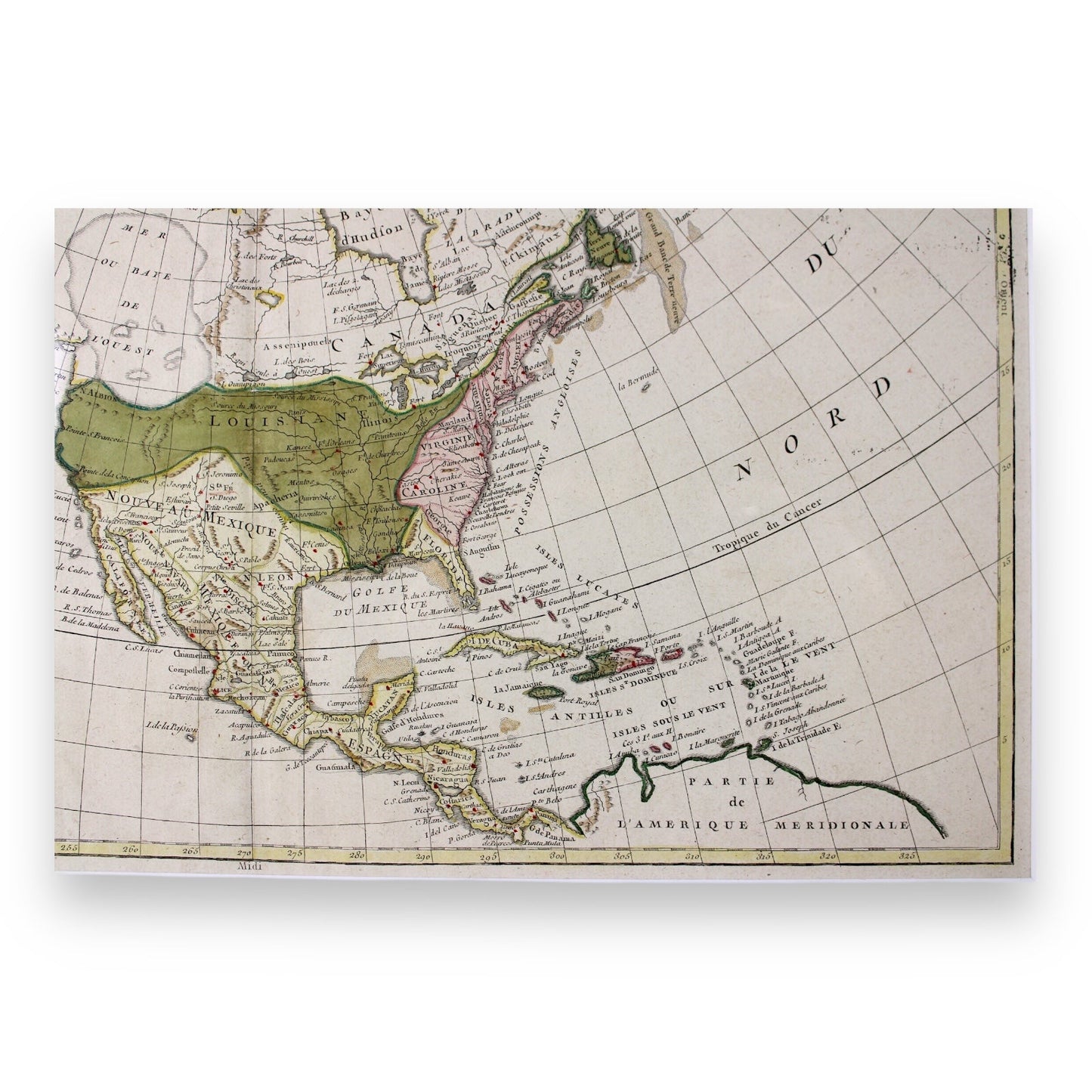
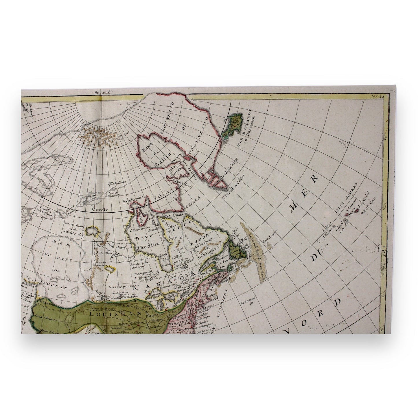
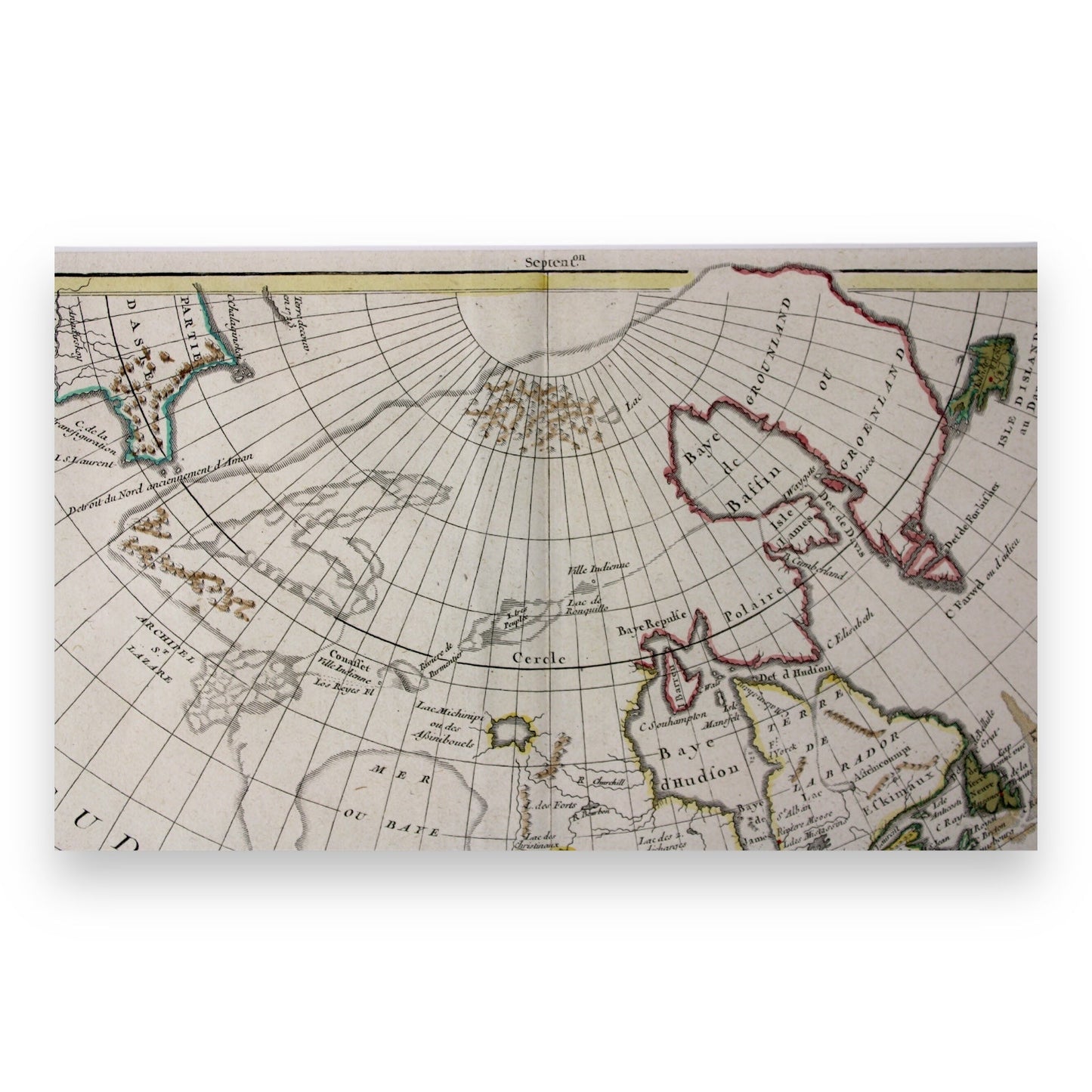
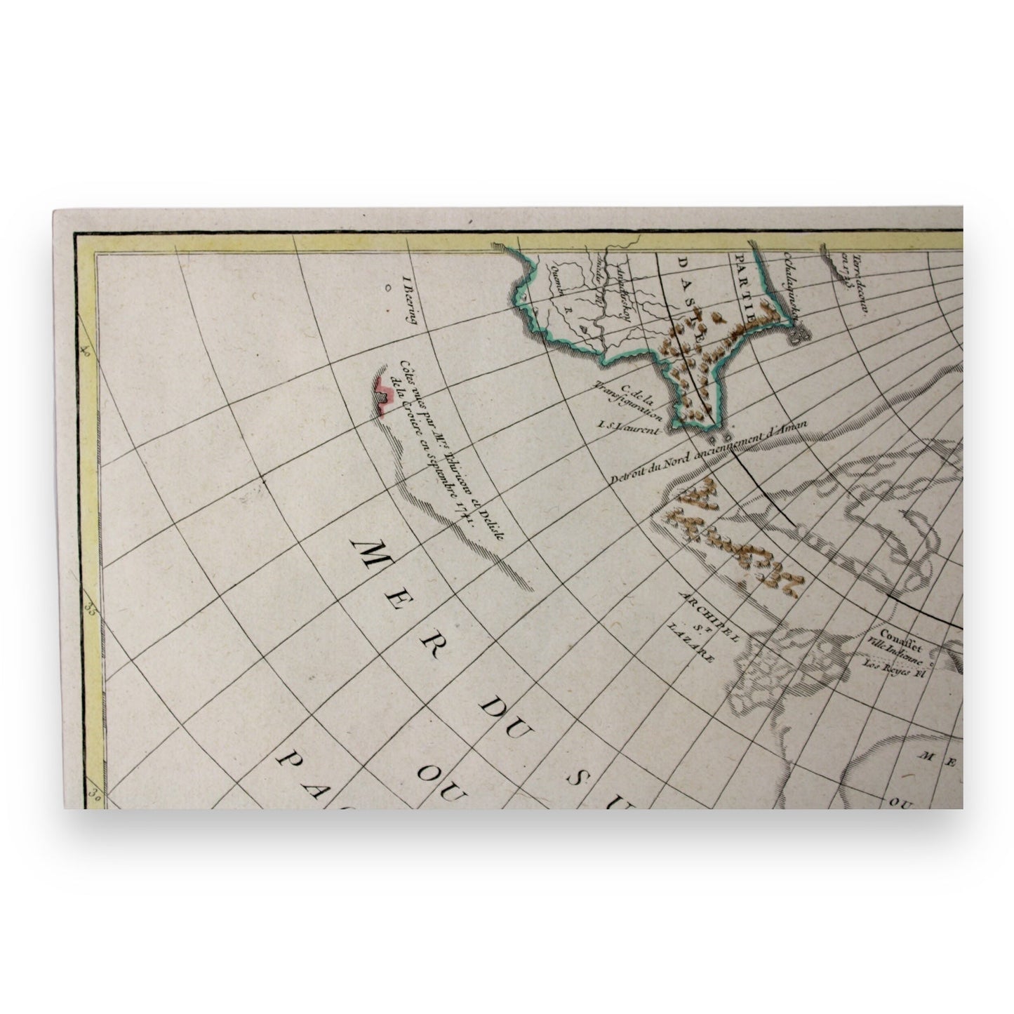
This Antique Map titled "L'Amerique Septentrionale divisee, Etats Par le Sr. Janvier, Geographe, A Paris, 1762", was created by Jean Janvier, one of the renowned French cartographers of the 18th century. It depicts the North and Central American continent, highlighting both real and mythical features. The map was subsequently published in a number of different states, with this first state considered the most interesting.
One of the most intriguing aspects of this map is the depiction of the mythical "Sea of the West", a vast inland sea placed in what is now Canada and the Louisiana Territory. This "Sea" was based on early explorations, particularly the reports from Juan de Fuaca, as well as apocryphal accounts and indigenous stories.
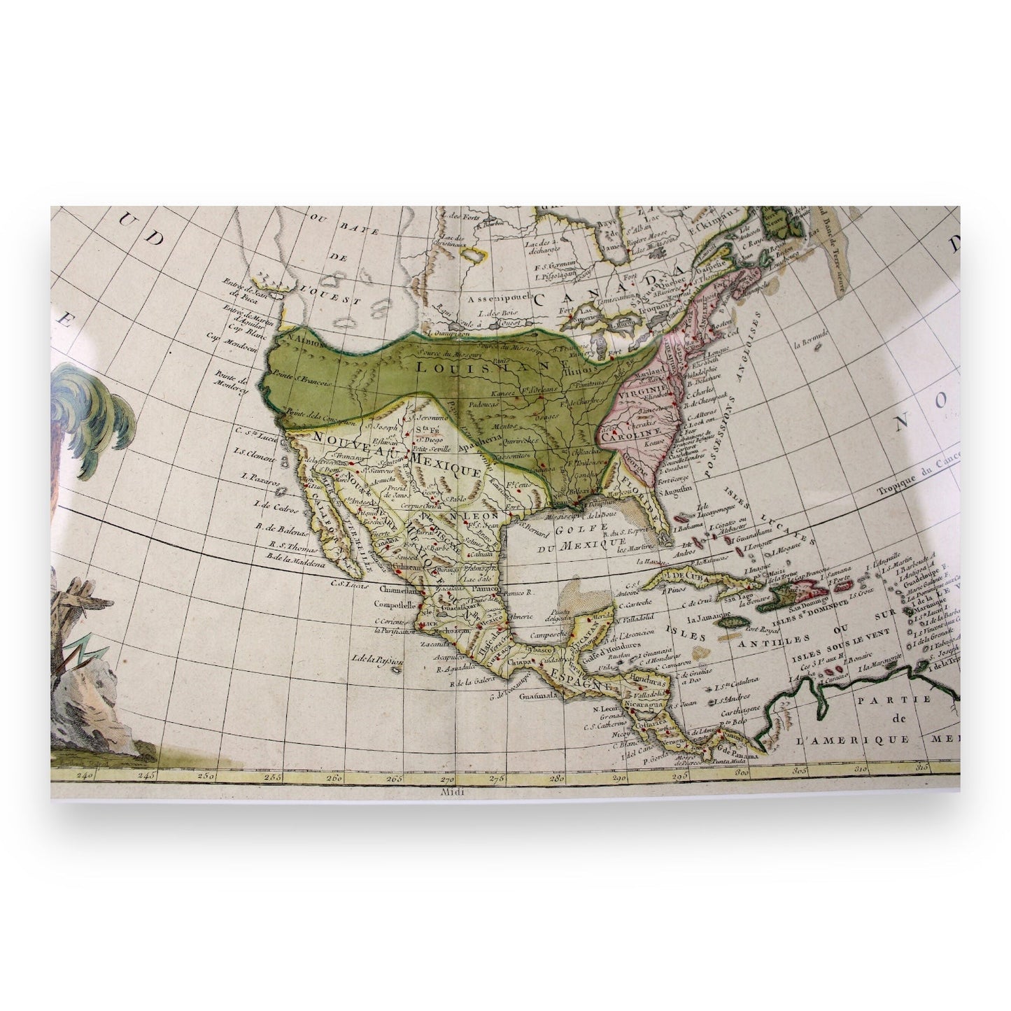
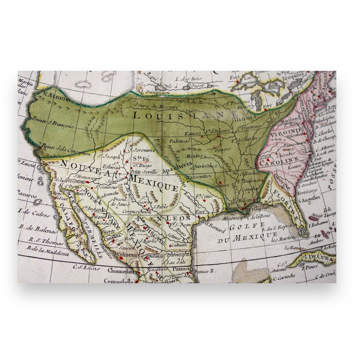
The map is divided into the territorial holdings of the three major colonial powers of the time: England along the East Coast, Spain controlling Mexico, Central America, Cuba, and Florida, and France occupying both Canada and Louisiana.
The map features the upper portion of the United States shown in green as "Louisianae" and the lower west part labeled "Noveau Mexico". A striking hand-colored title cartouche is positioned at the lower left of the map. The map covers the continent from the Arctic Circle in the north, down to Panama and northern South America in the south.
This first edition of Janvier’s map includes significant place names, the territories of indigenous peoples, rivers, mountain ranges, and the depiction of shoals in various parts of the seas. The map is embellished by a lovely large title cartouche featuring clusters of grapes, a palm tree. and a portion of a scroll on which the title is written.
Key Features:
- First edition of Jean Janvier's 1762 map depicting North and Central America
- Hand-colored map featuring the mythical "Sea of the West" and detailed colonial boundaries
- Divided into regions controlled by England, Spain, and France, showing significant place names and indigenous territories
- Hand-colored title cartouche adorned with grapes, palm tree, and a scroll
- Covers the entire North American continent, from the Arctic Circle to Panama
Condition: Excellent condition. The map is well-framed and beautifully preserved, showcasing vivid hand-colored details. There are no visible rips or tears, with minimal signs of age.
Item Dimensions:
- Map: 10.85" H x 8.75" W
- Framed Map: 13.60" H x 11.40" W
Location: Collectors Crossroads - QM0095
